Finding the right sediment is challenging.
More frequent and intense storms along the U.S. coast, along with reduced state resources, have increased the demand for federal sediment to protect coastal communities and restore ecological habitat. BOEM's Marine Minerals Information System (MMIS) helps in the search for suitable sand and gravel, making the process more efficient and less expensive.
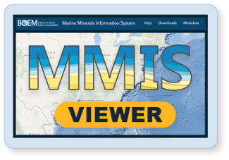
What is the MMIS?
The MMIS is an interactive online tool that provides public access to BOEM data and information about mineral resources on the Outer Continental Shelf (OCS) in the Atlantic, Gulf of America, and Pacific. As the steward of sand and sediment resources from federal waters, BOEM created the MMIS to assist coastal communities, state and local governments, academia, industry, and other federal agencies in understanding what resources may be available and if there are any barriers to retrieving them.
What are the goals?
- Assist project proponents in identifying potential sediment to support the construction of coastal resilience projects.
- Make publicly funded, trusted data and information readily accessible.
What information is available?
Users can access information on marine minerals lease areas, sediment samples, sand resources, and coastal nourishment sites through the MMIS, which contains data from BOEM-executed leases and over 35 years of BOEM-funded geological research from more than 40 partners. The MMIS provides locations of marine minerals resources and locations of potential conflicts such as underwater telecommunication cables, oil and gas infrastructure or important fish habitat. This type of detailed information is central to BOEM’s responsible management of the finite OCS sediment resources.
How does it work?
The viewer is an interactive map that allows users to select from 25 data layers to display geographic data about offshore minerals. Data are derived through partnerships with federal, state, and local agencies, and regional entities. The data support BOEM’s initiative to develop a National Offshore Sand Inventory.
Access the MMIS at: https://mmis.boem.gov
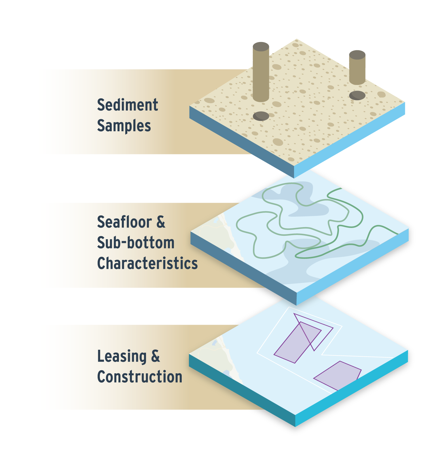
MMIS data layers examples
The Department of the Interior’s Bureau of Ocean Energy Management (BOEM) manages development of U.S. Outer Continental Shelf (OCS) energy, mineral, and geological resources in an environmentally and economically responsible way.
Revised March 2025