02-Alaska Planning Areas
File
02-Alaska Planning Areas
(296.57 KB)
03-Bowhead Migration
File
03-Bowhead Migration
(841.12 KB)
12-Cook Inlet Active Leases 2023
File
12-Cook Inlet Active Leases 2023
(2.26 MB)
13-Alaska OCS Critical Minerals
File
13-Alaska OCS Critical Minerals
(3.73 MB)
14-Alaska OCS Planning Areas
File
14-Alaska OCS Planning Areas
(1.48 MB)
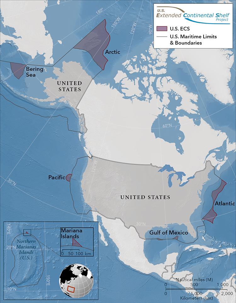
16-AK Extended Continental Shelf Circumpolar
File
16-AK Extended Continental Shelf Circumpolar
(170.85 KB)
19-NREL Offshore Wind Energy Southcentral
File
19-NREL Offshore Wind Energy Southcentral
(744.93 KB)
20-NREL Wave Energy Southcentral
File
20-NREL Wave Energy Southcentral
(725.6 KB)
21-NREL Tidal Energy Southcentral
File
21-NREL Tidal Energy Southcentral
(774.5 KB)
22-NREL Wind AK Peninsula Eastern Aleutian
File
22-NREL Wind AK Peninsula Eastern Aleutian
(524.84 KB)
25-NREL Wind Energy Western Alaska
File
25-NREL Wind Energy Western Alaska
(718.99 KB)
27-NREL Wave Energy Southeast Alaska
File
27-NREL Wave Energy Southeast Alaska
(739.25 KB)